Case study · EDK Mobile · Application takeover
Taking over the EDK app and regaining control of its development.
Since August 2025, I have led development of a stable, very well-engineered Flutter product. I built durable, version-controlled project context for Claude Code and rebuilt the map, navigation, offline operation, and performance. The goal was to reduce costs and restore the Foundation's agility in planning, validating, and releasing changes.
Let's talk about taking over your application →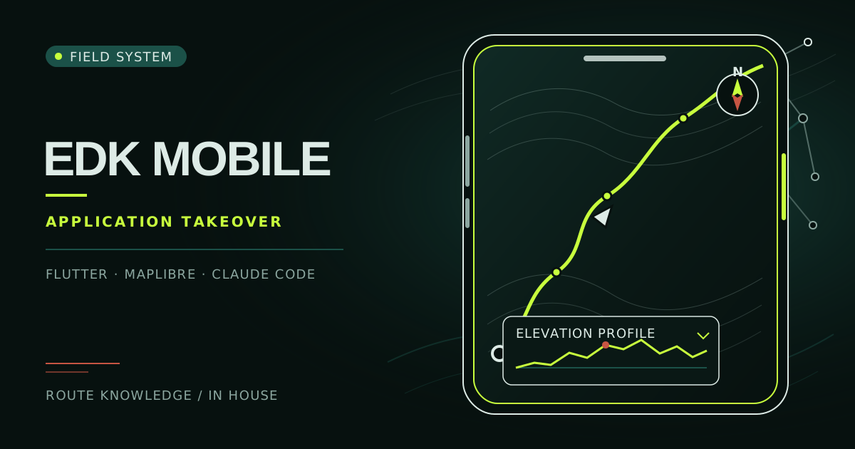
Taking over a working application means operating on a live product whose architectural decisions, dependencies, and implicit assumptions were created earlier. With EDK, I had to preserve continuity for participants, reconstruct how the code actually behaved, and create a process in which each change was small, verifiable, and under my responsibility. Claude Code accelerated my analysis and implementation, but only durable repository context, tightly scoped tasks, code review, device testing, and controlled releases turned generated code into safe product development.
1.8.0 → 1.10.5
Continued development through controlled releases
MapLibre
Migration to a vector map engine with rotation and compass
3 GPS modes
Free map browsing, location tracking, and heading-aligned navigation
Use context
The map supports both safety and continuity of the experience
The Extreme Way of the Cross takes participants along a night route of roughly 40 kilometers, often away from main roads and through areas with weak mobile coverage. The phone is not an optional addition to the event. It helps participants recognize the route, their location, and direction of travel while also providing the meditations assigned to each station. A small interface issue that would be a minor inconvenience in an everyday application can break concentration in the dark and make it harder to choose the right path at a junction.
The map, GPS, and compass are the primary tools guiding a participant along the route. They must work together: location needs to be legible, direction easy to understand, and the map view needs to behave predictably while the participant is walking, rotating the phone, or changing zoom. The application should provide enough information without competing for attention with the journey and reflection itself. This context shaped my technical priorities as much as the code did.
Offline access is equally practical. A route can pass through forests, fields, and villages where mobile data disappears. Participants need a previously downloaded map in a light or dark variant and locally available content, without assuming that connectivity will return at the right moment. My work therefore covered not only the online map view but also downloads, theme switching, error handling, and application lifecycle behavior.
Starting point
The external application maintenance and development model
The application was stable and very well engineered. The previous supplier specialized in mapping products, took care of versioning and quality, and followed sensible release practices - for example, it did not ship releases on Fridays. I was not taking over a product that needed a technical rescue, and I have no concerns about the quality of the previous team's work.
The challenge was to align the operating model with the Foundation's current needs. External maintenance came with a defined cost and a natural process for agreeing on larger changes. This was not a problem with the supplier, but a characteristic of that collaboration model. The Foundation needed a more agile development model: the ability to test hypotheses quickly, divide changes into small stages, and learn from behavior on real devices.
Map rotation illustrated this best. It required replacing the existing base layer with a vector map, which also meant changing the rendering engine, styles, layers, the behavior of the map view, and some interactions. The supplier indicated that the scope would require many hours of work. For the Foundation, this supported the decision to build its own capacity for faster product development. By taking technical responsibility, I could deliver the modernization in small, verifiable steps.
Recovering knowledge
The takeover began with reconstruction, not a rewrite
I started by reconstructing the architecture of the existing Flutter application: user flows, dependencies between screens, data sources, map state, Firebase integrations, GPS behavior, and areas particularly exposed to regression. This was not a response to chaotic code. It was the responsibility of understanding a well-built product before beginning a major modernization. I turned knowledge distributed across the codebase and change history into an explicit model of the product.
I then created version-controlled rules and project context for Claude Code. They described the architecture, conventions, constraints, quality checks, and acceptance criteria. New sessions no longer started by guessing, and important decisions remained in the repository with the code. The context did not replace product documentation. It connected that documentation with the practical instructions required to make a specific change safely.
I gave every Claude Code task a limited scope and an observable outcome. After implementation, I reviewed the changes, ran tests, built the application, and checked its behavior on real devices. I directed problems into another small iteration instead of letting them disappear inside a large batch of work. I controlled releases so that I could connect a regression to a specific scope and decide quickly how to address it.
I was responsible for this entire way of working: the architectural direction, task scope, code assessment, device testing, interpretation of failures, and the decision about what was ready to release. Claude Code supported my analysis and wrote a substantial part of the implementation, but it did not assume responsibility for the product. That distinction mattered in an application used at night, while moving, and beyond reliable mobile coverage.
01 · Reconstruction
Reconstructing architecture, flows, integrations, and risks from the code, history, and application behavior.
02 · Version-controlled context
Recording the rules, conventions, constraints, and product knowledge Claude Code needs in the repository.
03 · Bounded task
Dividing the modernization into a small scope with a concrete outcome and explicit acceptance criteria.
04 · Implementation and review
Using the agent for analysis and coding, then reviewing decisions, changes, and their effect on existing behavior.
05 · Device validation
Building the application and checking maps, GPS, compass, offline operation, themes, and lifecycle behavior on real phones.
06 · Controlled release
Publishing a verified scope, observing stability, and carrying the findings into the next iteration.
Navigation in the field
From a static map to a predictable navigation tool
I migrated the application to MapLibre, moving it to vector rendering and creating the foundation for map rotation, a compass, and smoother movement of the map view. The change covered both the base-layer technology and the logic controlling the view. I had to keep the map view, user marker, and device orientation consistent so that rotating the screen did not disorient the participant and returning to location tracking remained obvious.
I designed three GPS states around distinct user intentions: freely browsing the map, following the current position, and navigating with the map aligned to the direction of travel. I added a compass for returning to north and made sure automatic tracking did not fight manual map movement. I brought the interaction patterns closer to Google Maps because familiar behavior reduces cognitive effort when attention should remain on the route.
The map presents several kinds of information at once. I added event and station clustering to reduce visual noise when zoomed out, together with a collapsible route panel that exposes details without permanently covering the map. I also built an interactive elevation chart that connects the height profile with the course of the route and helps participants understand the selected journey before and during the walk. I treated these elements as one information system rather than separate widgets.
I delivered the map rebuild in stages so that I could compare each new behavior with familiar scenarios. I first established a stable rendering foundation, then added orientation and GPS modes, followed by layers, clusters, the route panel, and the elevation chart. This order reduced the number of variables during diagnosis and allowed me to preserve a working product between releases.
MapLibre and vector rendering
Vector rendering created the foundation for rotation, custom styles, controlled layers, and light and dark themes.
Three GPS modes
Users can browse the map, follow their position, or enable heading-aligned navigation without unexplained changes to the map view.
Compass and orientation
The map view, user marker, and device heading remain consistent, while the compass provides a clear return to north.
Familiar gestures
Panning, rotation, and returning to the current location follow patterns familiar from Google Maps, so navigation does not require learning on the route.
Clusters and route panel
Events and stations are grouped when zoomed out, while a collapsible panel shows details without taking the whole screen away from the map.
Elevation chart
An interactive elevation profile connects the difficulty of each section with the route and helps participants prepare for the night journey.
Product resilience
Smooth performance and new features without losing stability
I extended offline mode with downloadable light and dark maps. I accounted for concurrent downloads, network errors, partial failures, and clear user-facing state rather than assuming a perfect connection. I also ensured that local data remained usable after a theme change so that a previously prepared map still worked when the device could not download another variant.
I improved map performance by reducing unnecessary repaints and consolidating rendering layers. This eliminated stuttering and restored smooth map performance on budget Android devices, without publishing an undocumented frame-rate measurement. I based the optimization on observed behavior, analysis of state-update paths, and reducing the work performed whenever the location or map view changed.
While expanding the product's central feature, I had to preserve the high quality that the application already had. I therefore protected the new stack against MapLibre-related SIGSEGV failures and refined GPS updates, light and dark theme switching, Firebase Remote Config, lifecycle handling, and safe areas. The issues I guarded the modernized stack against were not defects in the inherited application. They were risks introduced by the new map engine and additional features.
I verified each fix not only in isolation but also in combination with the map, navigation, and transitions between background and foreground. This prevented a fix for one scenario from changing another without detection. Device testing complemented automated checks wherever sensors, graphics drivers, phone resources, or operating-system behavior mattered.
Modernization scope
Stages of the takeover and modernization
August - September 2025
Takeover and context reconstruction
I reconstructed the Flutter application architecture, captured project rules for Claude Code, organized the review process, and delivered the first improvements while assuming direct responsibility for continued development.
February 2026
Map and navigation transformation
I migrated the application to MapLibre and vector maps, then added rotation, a compass, three GPS modes, consistent orientation of the map view and marker, clusters, the route panel, and an interactive elevation chart.
February - March 2026
Offline operation, smooth performance, and safe releases
I refined light and dark map downloads together with concurrency and error handling. I reduced repaints, consolidated layers, and protected the modernized stack around MapLibre, GPS, themes, Remote Config, lifecycle behavior, and safe areas.
Outcome
Controlled development from version 1.8.0 to 1.10.5
Since taking over the application, I have developed it from version 1.8.0 to 1.10.5. More important than the number of changes is the new way of working: the Foundation now has explicit technical context, a reviewable history of decisions, and a process that can divide a larger product direction into verifiable stages without losing responsibility for the whole.
I do not claim a simple relationship between the scope of changes and store ratings. The Foundation gained greater development agility through my work while preserving the product's high quality: a new vector map, predictable navigation, more resilient offline behavior, smoother performance, and context infrastructure for working with Claude Code. Together, they form a foundation on which future participant needs can be evaluated and delivered in a controlled way.
Takeover playbook
Lessons that apply to other application takeovers
- 01
Context before code
First reconstruct product behavior, constraints, and risks. Only then can an agent safely support implementation.
- 02
Agent infrastructure is version-controlled
Rules, decisions, and criteria stored beside the code create durable project memory and reduce guessing between Claude Code sessions.
- 03
Modernization is incremental
Change a central product feature in stages so that each layer of behavior can be compared with a working reference point.
- 04
A real device is part of validation
Maps, GPS, graphics drivers, lifecycle events, and resource constraints reveal problems that an emulator or unit test alone will not show.
- 05
Responsibility remains human
An agent can analyze and write code, but a person remains responsible for architecture, scope, review, quality evidence, and the release decision.
Agent-assisted development
Want to combine Claude Code speed with accountable product delivery?
I help teams build durable context, bound tasks, validate outcomes, and run controlled releases in existing systems.